

The entrance of Serramezzana and how to prepare
 10 minutes
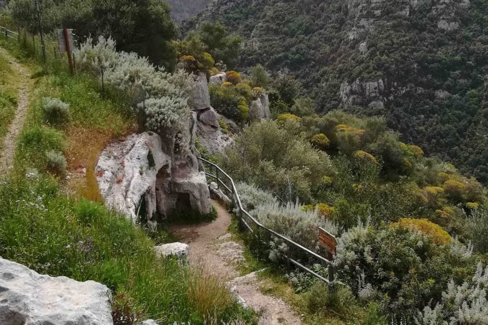
Pantalica is a plateau carved over the centuries by the Anapo and Calcinara rivers, which have formed deep canyons. It is part of the Pantalica, Valle dell’Anapo and Torrente Cava Grande Nature Reserve and has been a UNESCO World Heritage Site since 2005. You can enter from several entrances. This itinerary starts from the Serramezzana entrance, on the side of Sortino, where you usually leave the car along the road, a few steps from the gate. Spaces are limited: arrive early. At the entrance, there may be an information point, where you leave your name and phone number, and a map with the paths, indicated by colour and difficulty. The route is a loop, to be done in an anti-clockwise direction: green, white, red, yellow, then back to red to return.
Tip
Bring plenty of water, a hat and walking shoes, and a torch (the one on your phone is enough): along the path, there are no refreshment points and a tunnel is unlit.
The green path, the northern necropolis and the church of the Crucifix
 60 minutes
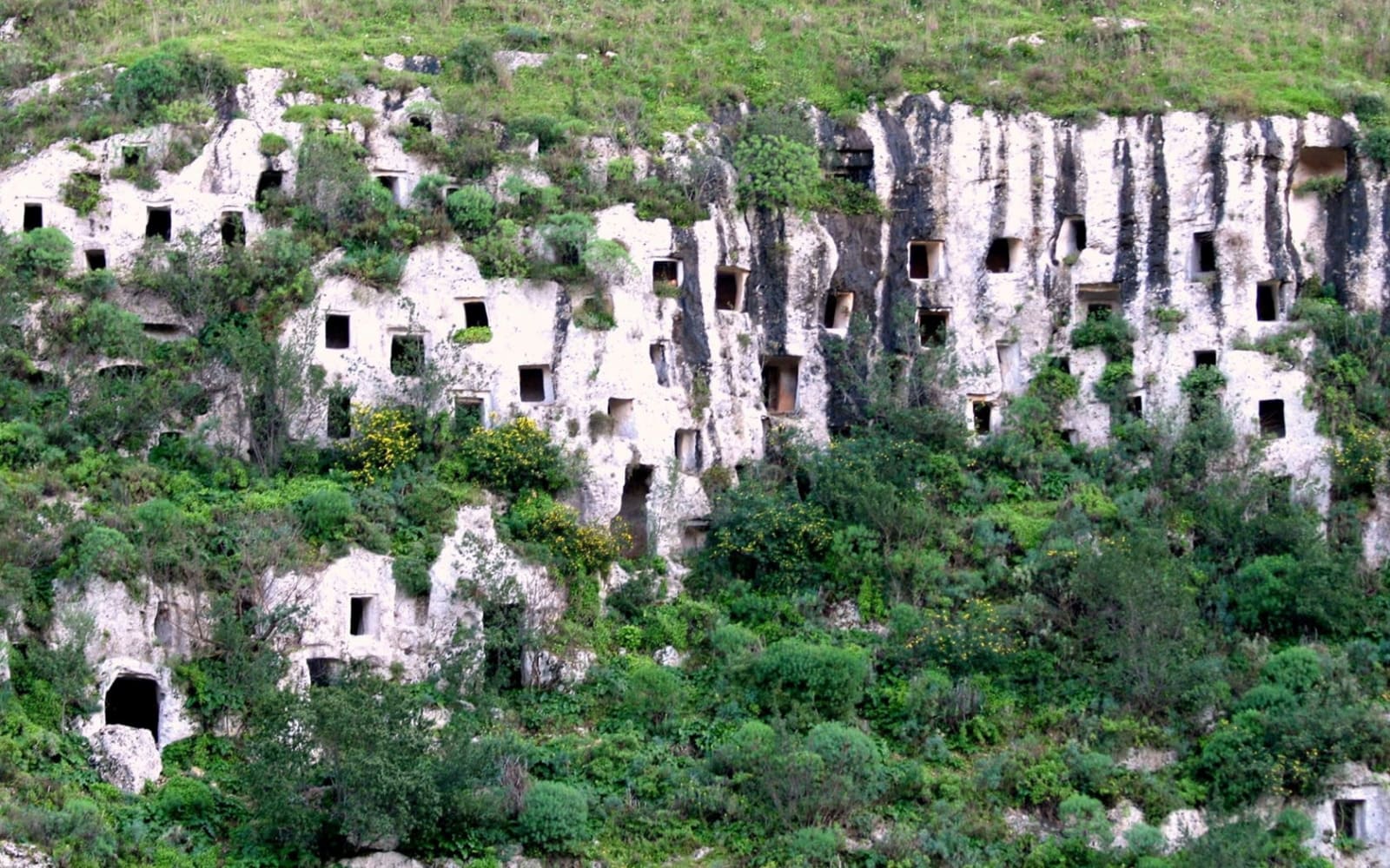
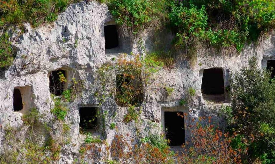
From the entrance, the green path descends to the first necropolis, the northern necropolis, the oldest: its tombs were carved between the mid 13th and the 11th century BC. They are cave tombs, small chambers carved into the walls, almost five thousand in total throughout Pantalica. What strikes is the number: the walls are punctured by rows of entrances, amidst a wild nature that grows on the rock. Much of the path is carved into the rock and can become slippery when it rains. Along the route, you will encounter the rock church of the Crucifix, a small cave long mistaken for a catacomb. It is one of the three rock churches in Pantalica and preserves frescoes, including a Crucifixion in the apse; according to scholars, they date back to the period between the 12th and 14th centuries.
Tip
Stop every now and then and look up: the highest tombs can only be seen from afar, and the viewpoints over the canyon are the most beautiful of the entire route.
The Anaktoron, the prince's palace
 45 minutes
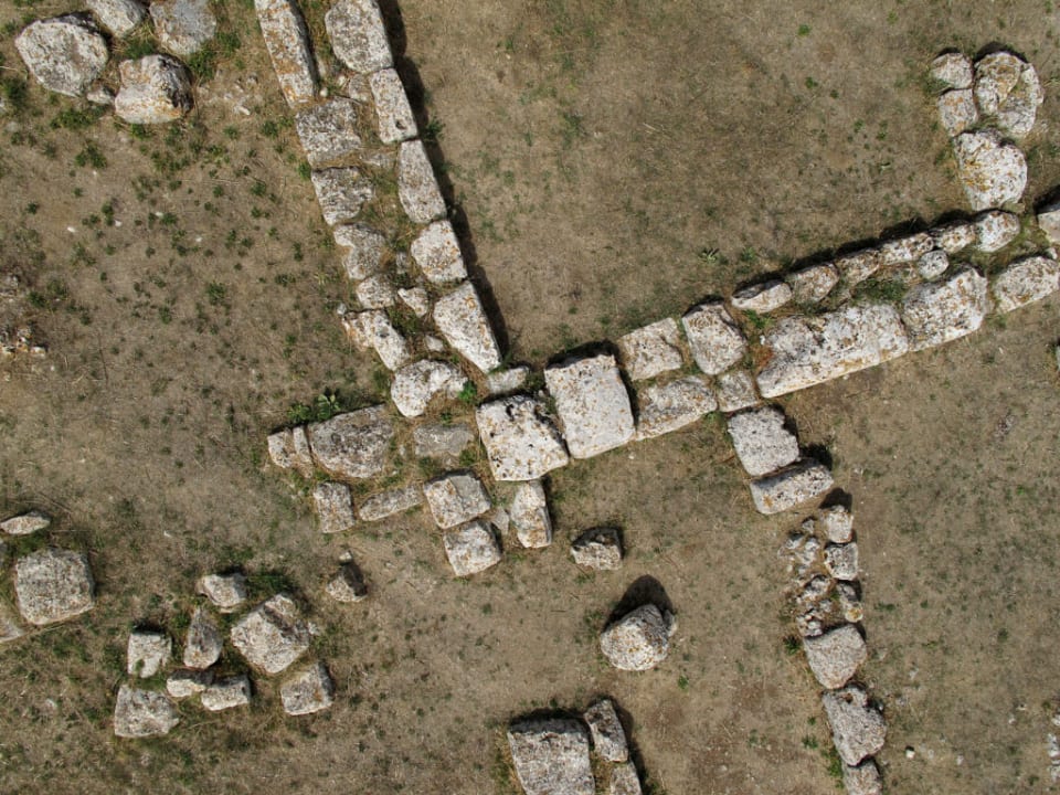
After the green path, take the white path, an asphalted road, and climb until the sign for the Anaktoron. From here, the view of the canyon is the best: you can see the river that has carved the rock, and along the road, tombs carved into the mountain occasionally appear. Then the red path, unpaved, continues to climb. The Anaktoron means "prince's palace" (in Greek, anax): it is the only stone building in all of Pantalica and dates back to the 12th-11th century BC. The great palace remains only the foundations, made of huge blocks reminiscent of Mycenaean constructions, but you can clearly understand how imposing it was. It stood at the central point of the plateau, at 408 metres above sea level. In Byzantine times, it was reused; then a great fire, perhaps during Arab raids, led to its abandonment. It was discovered and studied by Paolo Orsi at the end of the 19th century.
Tip
It is the highest point of the route and almost without shade: take a break here, but don’t stay too long in the sun.
The former railway, the Cascitta tunnel and the southern necropolis
 35 minutes
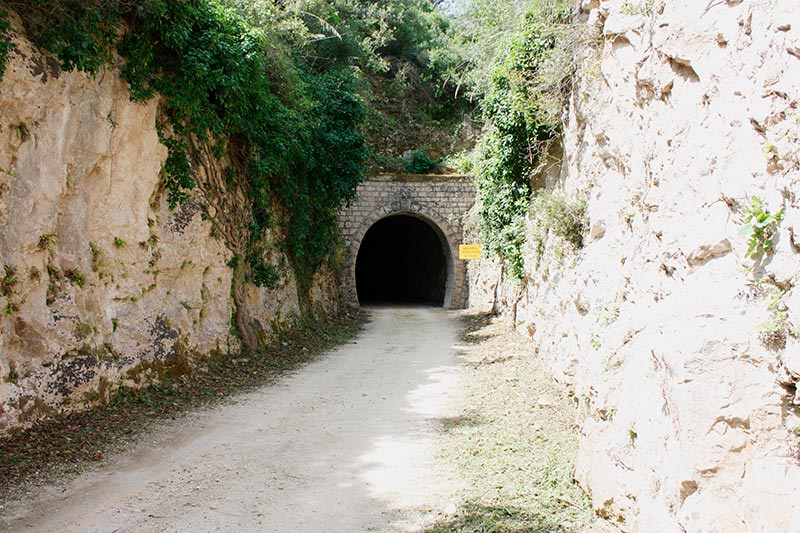
From the Anaktoron, descend towards the river, passing by a few more tombs, and arrive at the route of a former railway, which connected Siracusa and Vizzini. It runs alongside the Anapo and occasionally crosses it: this is the yellow path. You pass through the old Cascitta tunnel, which is not lit. The path also runs alongside the southern necropolis, with the more recent tombs, carved between the 9th and 8th centuries BC; they are less visible than those of the northern necropolis.
Tip
Turn on the torch before entering the tunnel and walk slowly: it is dark inside.
The Bisanti tunnel and the Anapo river
 35 minutes
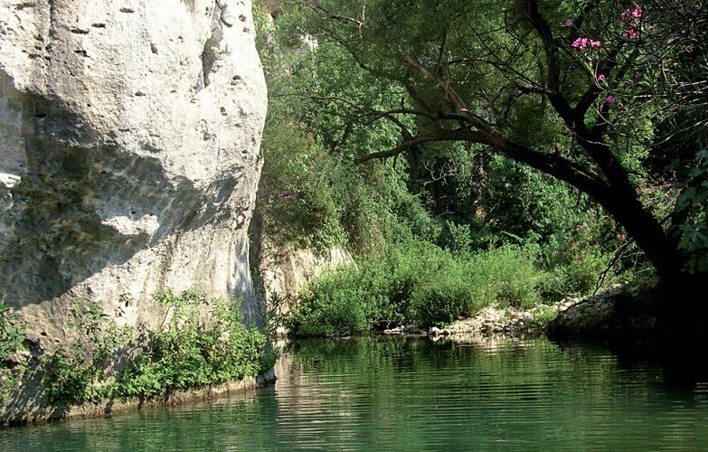
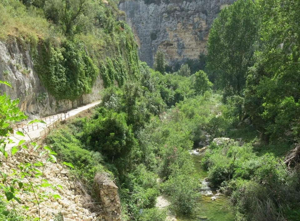
The yellow path continues inside the canyon, with high rock walls on either side: on one side, the rock is drier and bare, on the other, greener. Next to it, the river flows, with some small rocky beaches and little waterfalls: in summer, you can cool off. This leads to the Bisanti tunnel, about 220 metres long. You can cross it, or take the blue path on the left, which climbs a bit, offers other views and descends to reconnect with the yellow path right at the end of the tunnel.
Tip
If the tunnel doesn’t convince you, take the blue path: it’s a bit longer, but you see the canyon from above.
The ford and the climb back to Serramezzana
 30 minutes
Back on the yellow path, the return begins with the red path. You start crossing the river on some fairly stable stones, then the path climbs quickly: from the river level, you need to return to the top, where you entered. It is the steepest and most tiring part of the route, but in about twenty minutes, you will reach the entrance.
Tip
Save some water and energy for the climb: it’s the hardest part and comes at the end, with the sun on you.
Route map
On phone and tablet: one finger scrolls the page, two fingers move the map.
Frequently asked questions
The described loop is about 8 km long and requires two and a half to three hours of walking, not including stops. From Siracusa by car, it takes about 45 minutes.